
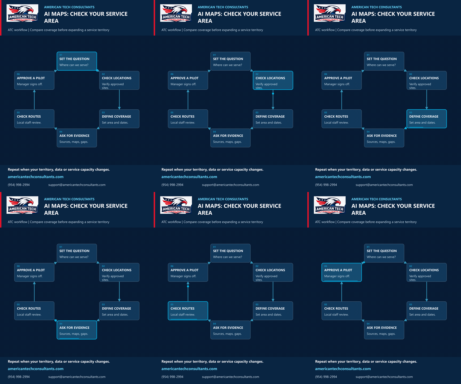
Plan a service area with AI evidence and local checks
Before expanding a service territory, ask a focused question: which areas can our team reliably serve?
Google Research’s October 14 update describes an experimental geospatial agent that combines specialist models, spatial tools and upfront planning. It can accept organizational datasets through its API and show its plan and sources. Access remains experimental; Google describes outputs as a first draft for expert review.
Here is an ATC planning workflow inspired by those capabilities, not a tested claim about service-territory optimization:
- Set the question. Define the service, capacity and acceptable travel time before asking for a map.
- Check locations. Use approved business-site data and verify coordinates. Keep unnecessary personal information out of the analysis.
- Define coverage. Specify boundaries, dates, travel assumptions and excluded areas.
- Ask for evidence. Request the source dates, map layers and missing-data notes alongside any suggested coverage.
- Check routes. Have local staff validate sample routes and practical constraints.
- Approve a pilot. A manager chooses a small trial, records actual service times and revisits the analysis when data or capacity changes.
This workflow does not require purchasing a new tool. Evaluate available access and costs separately before adopting an experimental service. No customer data was uploaded for this illustration.
Source: Google Research, Putting Earth AI to work, October 14, 2026; reviewed October 16.
American Tech Consultants | americantechconsultants.com | (954) 998-2994 | support@americantechconsultants.com